Today after the last day of Build 2011 Conference I had planned to travel to Grand Canyon with a good friend. After work, he drove down from Los Angeles to Anaheim (CA) to pick me up at the conference venue. Our plan is to drive down about 7 hours and stay overnight in a small town called Williams which is near South rim of Grand Canyon.
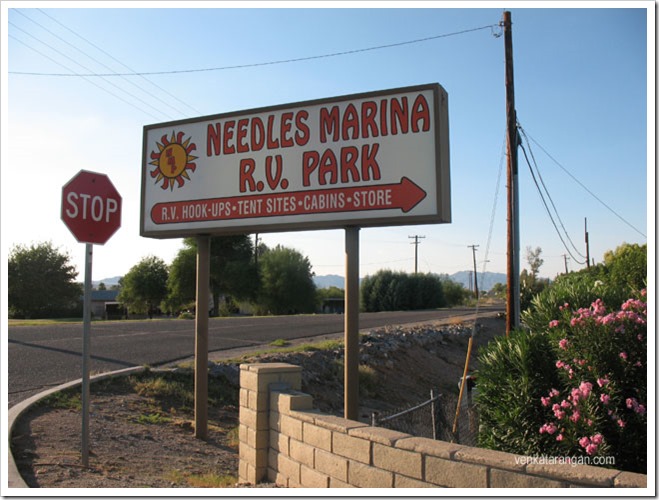
On Road to Grand Canyon – Needles
We stopped at Needles (CA) which is the southern end of California which ends midway over the waters of Colorado River. The sandbanks of Colorado River here has created some scenic spots where we spent some time enjoying the waters, the greenery of nearby golf courses and then ate the food we had brought with us.
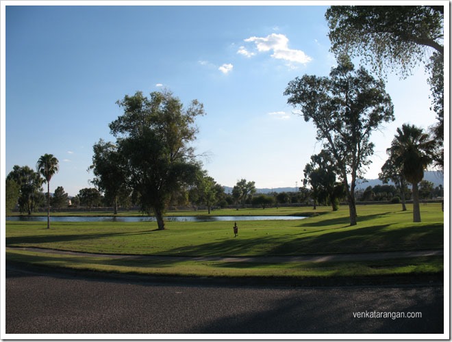
Needles – Golf Course
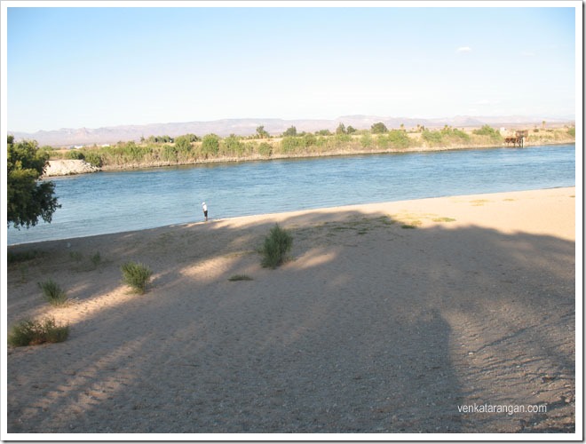
Needles – Colorado River
On the way to Needles, we saw few stretches of the Historic Route 66 (now called National Trails Hwy) running alongside to I40. My son had told me to see this yesterday when I talked to him over the phone that I am going to Grand Canyon from Los Angeles. He had learnt about Route 66 in the animation movie Cars! and insisted I travel in that. The route used to run from Chicago to Santa Monica Pier (East to West of USA), but got decommissioned several decades back, now the fragments of it remain and protected as historic landmarks. For my son’s interest, we decided to go in one of the Route 66 stretches and took some photographs.
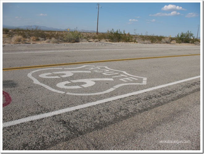
Route 66
When we arrived at the motel we were staying in Williams (AZ) I was surprised that the road we were on was Route 66!
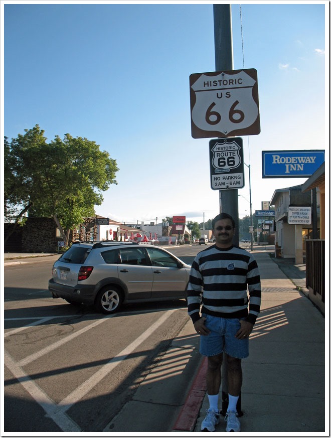
Williams – Route 66
The town (Williams, Az) was a small one with just about 3 roads, I felt like one of the Midwest towns you see in Hollywood cowboy movies. The two days we stayed there we ate in local restaurants (Pancho McGillicuddy Mexican Restaurant) where the food was tasty, a live band was playing and service was good.
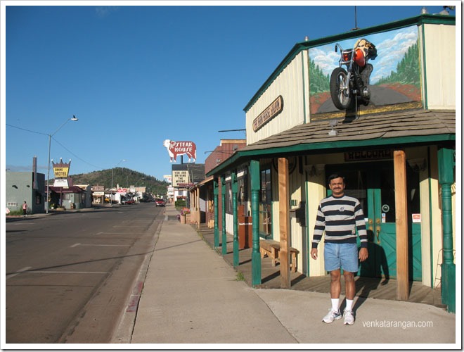
Williams main street
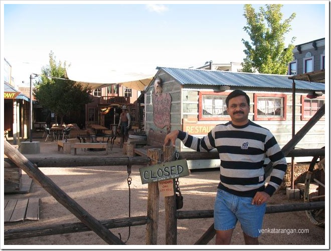
Willaims – Ranch

